This is the route that we took in early July 2015. We walked slightly faster at the end, combining the last three days in to a day and a half.
We spent most nights wild camping (tent or bivvy) with a night in the privately run hostel in Portree and the youth hostel in Broadford (SYHA).
Day 1 - The Skye Trail
Rubha Hunish -> Biodha Buidhe
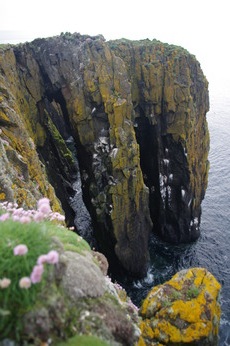
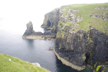
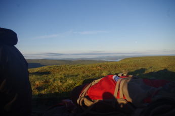
Rubha Hunish is the start of the walk and we spent the night on the headland (Rubha Hunish means headland of the bearcub). It is the most northerly point of the island and good for watching wildlife such as otters, seals, minke whales, dolphins, porpoises and birds (binoculars come in handy). We saw some seals swimming about and either a dolphin/porpoise - the cliffs have lots of birds nesting - shags, oyster catchers and seagulls mainly.

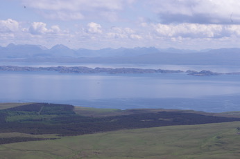
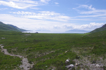
After a good night's rest we headed off up the cliff and on to a boggy plateau, it started off misty and wet but soon cleared up to give some good views back along the coast and out to sea.
The trail follows the coast along the cliffs and down to Flodigarry where there is a hotel http://www.hotelintheskye.co.uk/the-flodigarry-hotel/. This is supposed to be the end of day 1's route, however we decided to get a headstart on day 2 which would be the longest (28.5km and 1750m ascent).
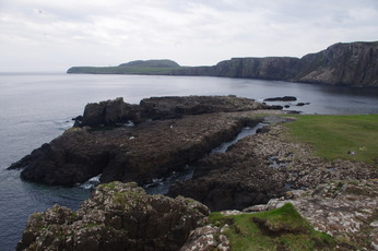
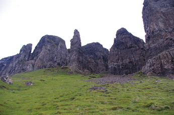
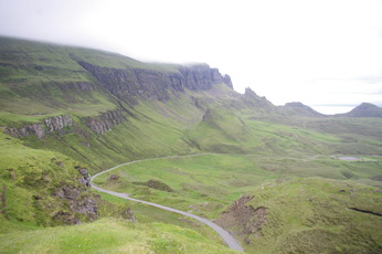
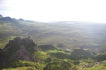
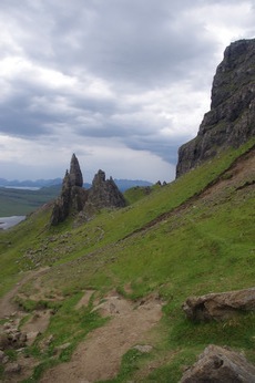
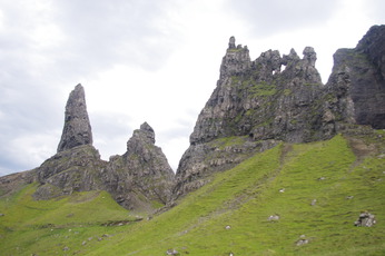
The trail heads out of Flodigarry and up on to the Quiraing with some awesome rock formations. The paths here are well defined and the proximity to the roads means that there were quite a few 'day-walkers'.
.....and on to the final climb of the day
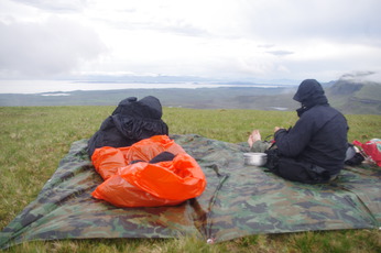
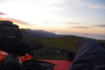
Setting up a bivvy for the night on Biodha Buidhe:
Biodha Buidhe-> The Storr
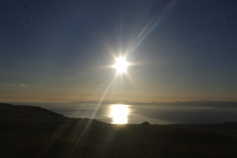
Morning on Biodha Buidhe
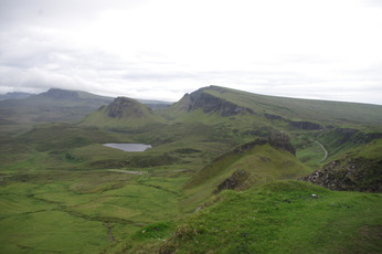
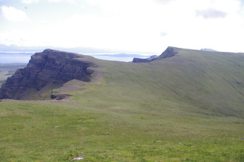
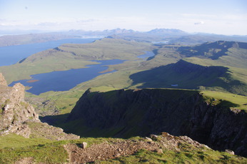
The walk follows the Trotternish ridge steadly up and down, giving excellent views back towards the Quiraing and onwards to The Storr in the distance. We actually ran out of water at this point but managed to find a small spring to fill up (and treated the water before drinking).
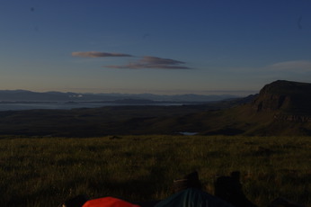
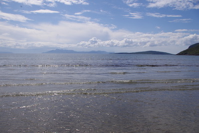
.....and views across to the mainland.
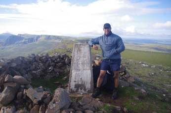
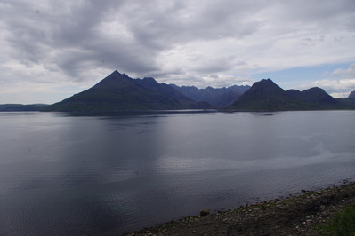
The trail isn't meant to go to the top of The Storr but this gave some of the best views we saw - from there you are able to see all the way to the North, to the Cuillins in the South, the mountains on the mainland and across to the West of the island.
The Storr -> Portree
It was at this point that I got a craving for pie and chips, so.....
We packed up and headed down off the ridge, past the Old Man of Storr, to Portree along the Loch Leathan road - the actual trail follows the coastal path up and down and Bearreraig Bay is meant to be a good place to spot otters if you have the time for a slight detour.
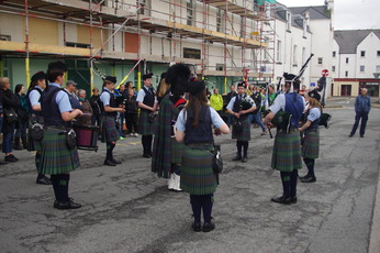
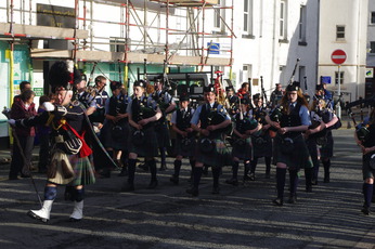
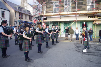
By chance the Isle of Skye Pipe Band were in Portree square playing in support of Cancer Research UK. They played for an hour - fantastic, and very lucky we got to see them:
Portree -> Sligachan
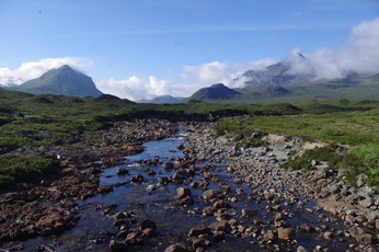
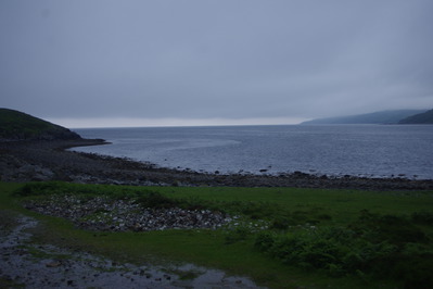
The walk heads out of Portree and along the coast to Sligachan, a relatively flat day of walking. Some of the rivers in this section were very large and could be difficult to cross after heavy rain.
Views towards Sligachan
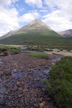
Some large river beds.......
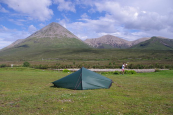
We stayed at the Sligachan campsite, just across the road from the Sligachan Hotel. The mountain in the background above is site of the Glamig Hill Race where competitors run to the top and back to the Sligachan Hotel in the fastest possible time. The record for the ascent/decent was held for a long time by Gurkha Harkabir Thapa who apparently completed it bare foot in 1899.
Day 5 - The Skye Trail
Sligachan -> near Torrin
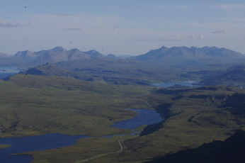
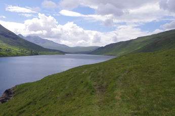
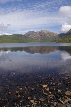
Great weather and walking through Glen Sligachan. Approaching Bla Bheinn (928m) - an alternative route for the 6th day and good views of the Cuillins.
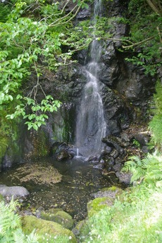
A good spot for a swim.
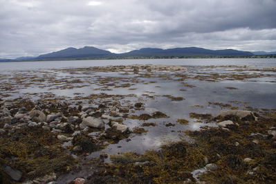
The route reaches Camasunary where we had some lunch. Interesting how the sea was so close to the fresh water Loch 10 minutes away.
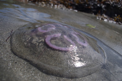
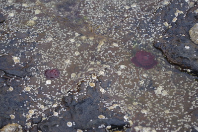
The beach had some interesting wildlife including moon jellyfish 'Aurelia aurita':
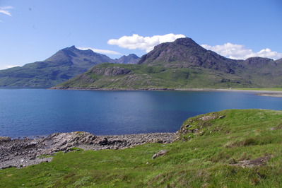
....and views across to the Cuillins.
There are some step cliff drops in the next section to Elgol - OK if you're careful but probably not the place to slip or trip on shoe laces.
The day was meant to end in Elgol, but some some reason we decided to keep walking until we reached Torrin. It started to rain hard and continued all night and we ended up in a very wet bivvy having found that the orange survival bags we had were too short.
Day 6 - The Skye Trail
near Torrin -> Broadford
After a hard night we made an early 4am start, wanting to get moving and warm as soon as possible. This section has some large rivers which had swelled in the night's rain and we needed to wade up to calf/knee height to get across.
We headed over the hill and into the next valley...
Then on to the last part of the route in to Broadford and the end of the Skye Trail.
Broadford has 2 hostels, an SYHA and one which is independently run. Places seem to fill up so it may be worth booking these in advance. We stayed in the SHYA - their drying room was excellent and by the next morning most our kit (including sleep bags) were dry again!