The West Highland Way route: 96miles from Glasgow to Fort William. A good fitness level, experience of hill walking and navigation skills are needed. See http://www.west-highland-way.co.uk/home.asp for more information.
Day 1
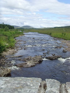
Milngavie -> Conic Hill 17 miles
The route passes through/near Drymen where there are shops. There is accommodation in Balmaha just after Conic Hill.
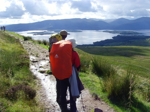
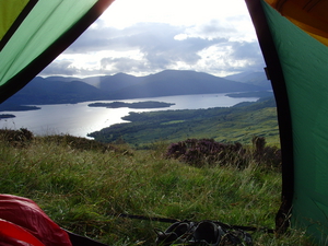
Good views on Conic Hill of Loch Lomond, good place to camp.
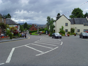
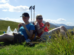
Drymen, first stop of the walk!
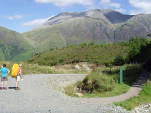
Coming round conic hill and the first good views of Loch Lomond
Day 2
Conic Hill -> Inversnaid 16 miles
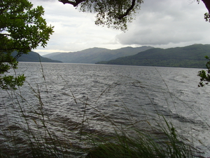
The path heads down in to Balmaha and then follows the side of Loch Lomond for the next couple of days. My next stop was Inversnaid (where there is a hotel/pub). There is a camping area about 10minutes walk after Inversnaid by the Loch. Although litter can be a problem from previous campers.
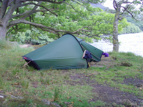
Setting up camp and time enough for a swim.......!
Day 3
Inversnaid -> Tyndrum 19 miles
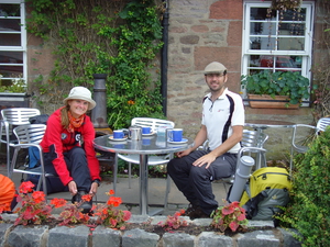
The path continues for some miles after Inversnaid and then leaves the side of Loch Lomond before climbing slightly in to the hills. It passed through Beinglas campsite where its possible to get some lunch! The path spilts just before Crianlarich where it is possible to stay. Crianlarich also has a pub/shop if you want a stop before heading on to Tyndrum. Tyndrum has a campsite which costs £8 per tent. Shops.
Day 4
Tyndrum -> Kingshouse 20 miles
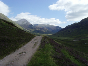
From Tyndrum the path follows the contours of Beinn Dorain and then continues in to the Bridge of Orchy (pub). From there it gains height and drops in to the next valley before climbing again and continuing to Glen Coe and Buachaille Etive Mòr valley.
Kingshouse has a pub and climbers bar! Many people wild camp just across the bridge and come in to the bar in the evening. The most midges i've seen in one place..!
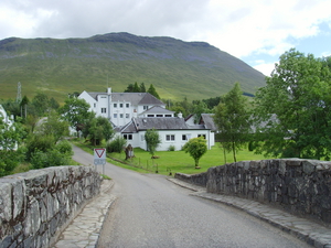
Passing through the bridge of Orchy.
and on to Kingshouse.
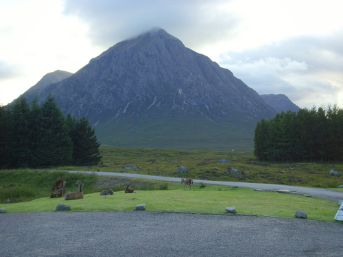
Buachaille Etive Mòr view from Kingshouse.
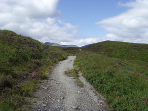
Day 5
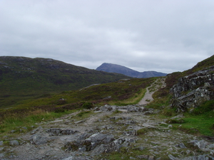
Kingshouse -> Kinlochleven 9 miles
From Kingshouse the path climbs up the devils staircase to the highest point on the way then continues to Kinlochleven. A large town with a supermarket and two campsites. Blackwater campsite (a few mins from town centre) and Macdonald Hotel (a 10 minute walk out of town along the trail. I stayed in the Macdonald campsite which was very nice, had good facilities. Macdonald also has a pub and had live music the night I was there.
Macdonald campsite at Kinlochleven.
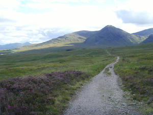
Day 6
Kinlochleven -> Glen Nevis 11 miles
The path follows the old military road through the mountains and after a while.....views of Ben Nevis. Carrying on through forest before dropping down in to the Glen Nevis valley.
There is a campsite at Glen Nevis which costs £9.50 per night for a tent. There is also a bar/restaurant nearby. A youth hostel is also in the vicinity and both are a good start point if you want to tackle Ben Nevis the next morning!
The old military road.......
And some lunch!
Views of a clear Ben Nevis on the way down in to the valley